
Mapping Project
North
|
South
|
West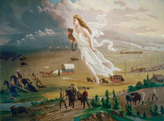
|
Mapping Project
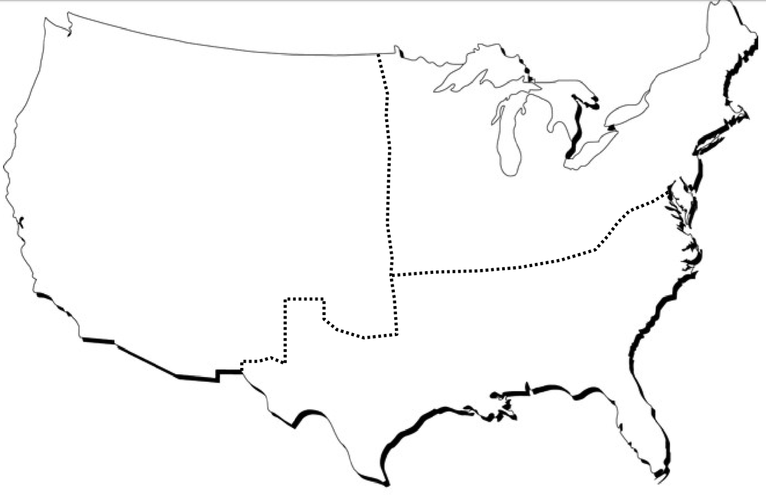
Below is an blank map of the western, northern, and southern sections of the United States. Next to the blank map are examples of the project map we want you to complete. Using your knowledge of sectionalism from what you have already learned or from research, you are to create a map of your own. (You can download your blank map at the bottom of the page). You may also be creative and use a digital source to make your map, such as Google Drawings, Microsoft Paint, etc. The directions are as follows:
Directions: You will create an authentic sectional map that illustrates the images you analyzed in the separate attachment.
Directions: You will create an authentic sectional map that illustrates the images you analyzed in the separate attachment.
- You will first need to draw the shape of the United States or download (download at the bottom of this page) or copy and paste a United States outline on a document or on paper you have in your home. The paper can be printer paper size or bigger, but not smaller.
- You will then section off the United States into the North, the South, and the West.
- For each section you will illustrate three characteristics for that area of the country. For example: in the North, you could draw factories, women workers, and many railroad lines. Below is a visual example….do not copy that example. Make your own!
- Submit by taking a picture of your paper and emailing it to your teacher or (if digital) emailing or linking it to your teachers email. If you have any questions please let us know.
|
|
Map Download
| sectionalism_map_-_blank.pdf |
| sectionalism_map_rubric.docx |
